ZK-SAT-DEMSatellite data
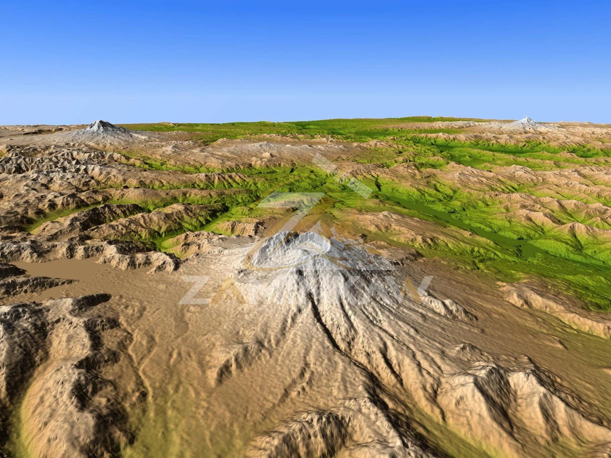
High-precision DEM / DSM
1–2 m stereo photogrammetric surface models for drainage and haul-road design.
- 1–2 m resolution
- Stereo photogrammetry
Specifications
Full specifications are on request. Ask us and we'll send the datasheet.
Customer reviews
No reviews yet. Only customers who received this product can review it.
Ask about this dataset
Quotes, leasing terms and technical questions go to a specialist. You'll get a reference number straight away.
High-precision DEM / DSMPriced to your project
Request a quote